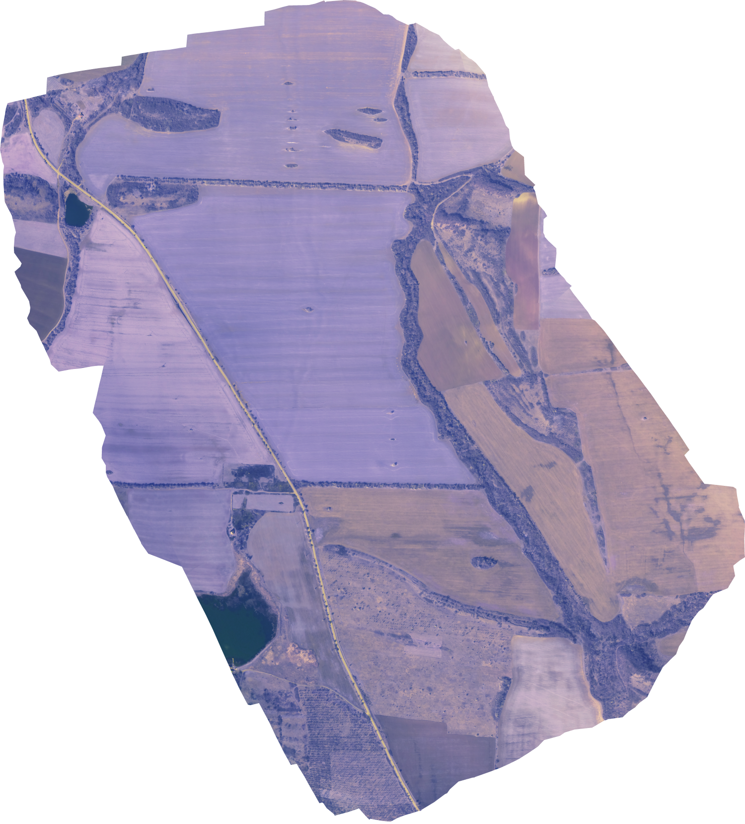
Complete solution for large-scale plant diagnostics and automated guidance of agricultural machinery. Geodetic precision provided, if required.
Maps with the recommended applications are provided directly ready for transfer to the agricultural machinery (tractors, sprayers, fertilizer applicators, harvesters).
● Dynamic tracking of crop / vegetation condition
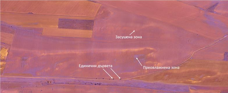
○ Water regime – zones of excess water or drought
○ Nutritional regime – zones of insufficient or excess nutrient supply
○ Tracking the emergence and growth of weeds
○ Disease monitoring
○ Monitoring the emergence / spread of insects, mice, moles, etc.
● Determination of actual plant density (number of plants/m^2 or hectare) in grain crops – wheat, barley, etc.
● Possibility to evaluate the biomass accumulated during the vegetation / year (for wood species in particular)
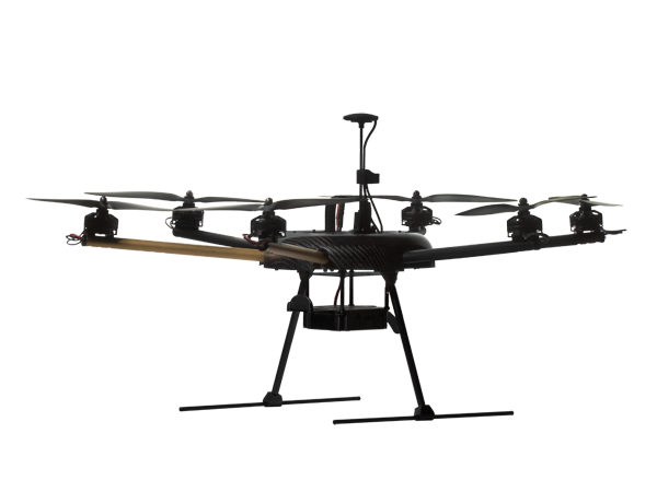
By using professional hexacopter precise mapping of agricultural land can be provided (single or in regular periods), followed by 3D modeling of terrains and providing treatment maps for the fields.
The map of advisable applications / rates is provided ready for use by the machinery (sprayers, fertilizer spreaders, etc.).
Exact determination of borders and sizes of customer fields – geodetic precision is provided (down to 1 cm)
3D modeling of arable land with the possibility to propose most adequate irrigation flows. Near real-time tracking and timely action execution for limiting the erosion processes.
Identification and exact size determination of landscape peculiarities (for the purposes of "green payments") – single and/or groups of trees, irrigation channels, etc.
Exact determination (GPS coordinates) of problematic field zones with the possibility to transfer them to tractors, self-propelled sprayers and harvesters to make precision agriculture reality at the farm.
Created with Mobirise
Free Offline Web Page Maker